GIS-Based Logistics
FlexSim Simulation Model

Project Overview
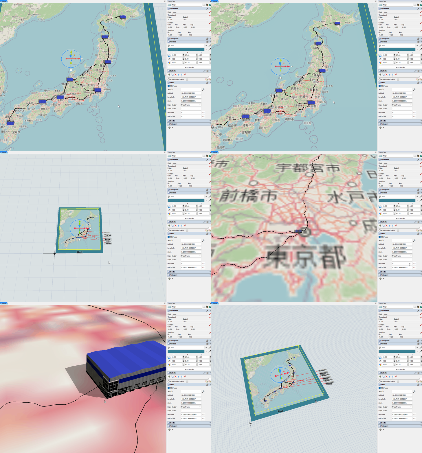
This case study showcases a GIS Simple Example Model, highlighting the application of the GIS Module to simulate logistics networks. The model features a network of 8 cities connected by routes, where items are transported between cities based on token generation, demonstrating a straightforward approach to modeling logistic operations without fixed resources.
Challenges and Solutions
The model leverages the GIS Module's capabilities to address logistic challenges, such as the efficient movement of goods and the dynamic management of logistic networks. It utilizes Min Scale and Max Scale properties of the GIS Map object to maintain object size consistency during zoom, improving the model’s usability and realism in logistic simulations.
Results and Impact
The GIS Simple Example Model offers insights into the potential of GIS in logistics, emphasizing flexibility, scalability, and the efficient management of logistic networks. It underlines the importance of GIS technology in optimizing logistics operations, serving as a base for further exploration and development in the field.